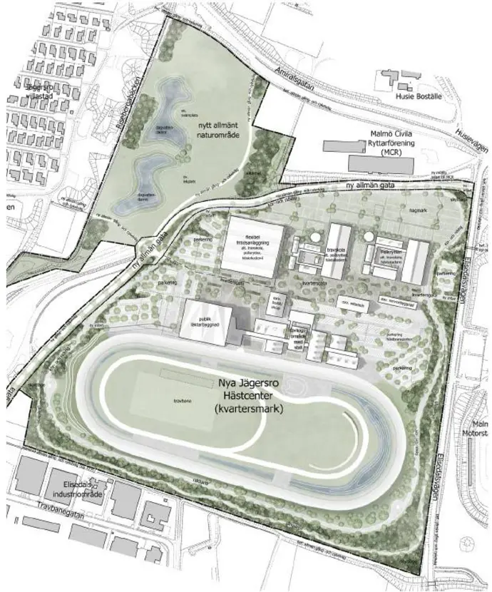
Jägersro hästcenter
Embarking on a comprehensive urban transformation, our project encapsulates the intricacies of modern living. From the meticulous design of main roads with roundabouts to the thoughtful planning of bus stops and the creation of interconnected bicycle and pedestrian paths weaving around the serene lake, every element harmonizes functionality with aesthetics, fostering a dynamic and inclusive urban environment.
Municipality:
Malmö kommun, Sweden
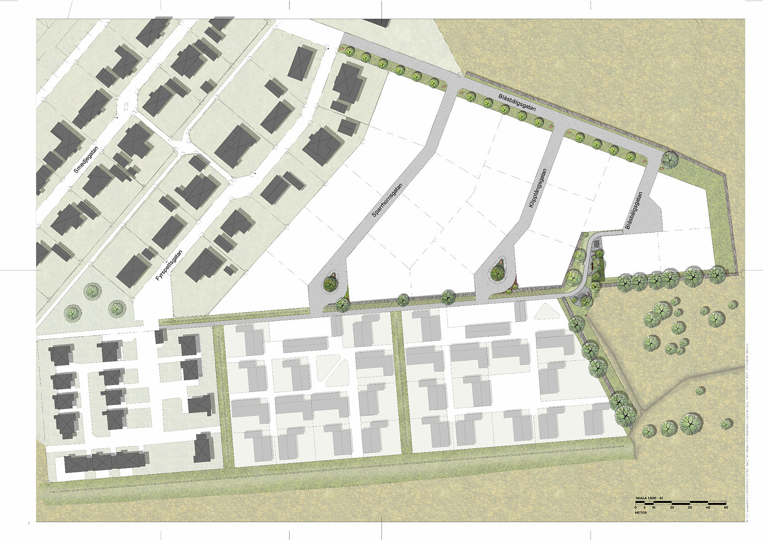
Ölyckegården
Speakers from all over the world will join our experts to give inspiring talks on various topics. Stay on top of the latest business management trends & technologies
Municipality:
Eslövs kommun
, Sweden 
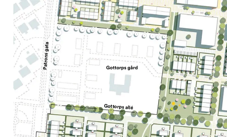
Gottorps gård
Area and road design, integration with surrounding areas, attention to detail.
Municipality: Malmö kommun, Sweden
Google maps
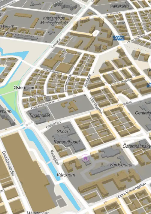
Kanalgatan
The project involved the reconstruction of a street, including the design of connecting intersections and bus stops, and ensuring the safety requirements of the urban environment around the site. Kanalgatan was converted into an urban street due to persistent issues with high speeds. The municipality of Kristianstad received a state grant to transform Kanalgatan (from Södra Kasernsgatan to Snapphanevägen - total length 1200m) into a safer, more pedestrian and cyclist-friendly urban street. The redesign included raising pedestrian and bicycle crossings, enhancing the bicycle path, narrowing the street to reduce speeds, and implementing new street lighting.
Municipality: Kristianstad kommun, Sweden
Google maps
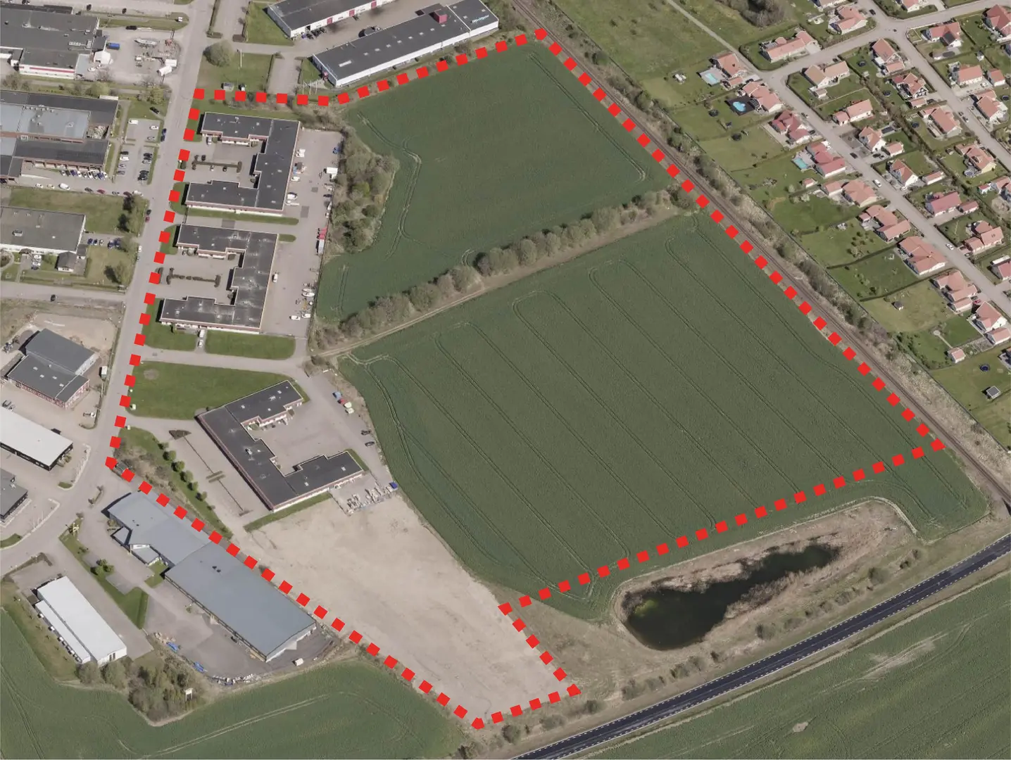
Ängelholms
Preliminary design of an industrial area: design of roads, properties, and a pond for collecting rainwater.
Municipality:
Ängelholm kommun, Sweden 
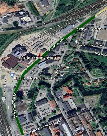
Vattentornsvägen
Reconstruction of the street, including the design of connecting intersections and bus stops, and ensuring the safety requirements of the urban environment around the site. The reconstruction begins from Norra Kaserngatan to Kockumsgatan, with a total project length of 850 meters. The street was successfully designed, executed, and opened for use.
Municipality: Kristianstad kommun, Sweden
Google maps
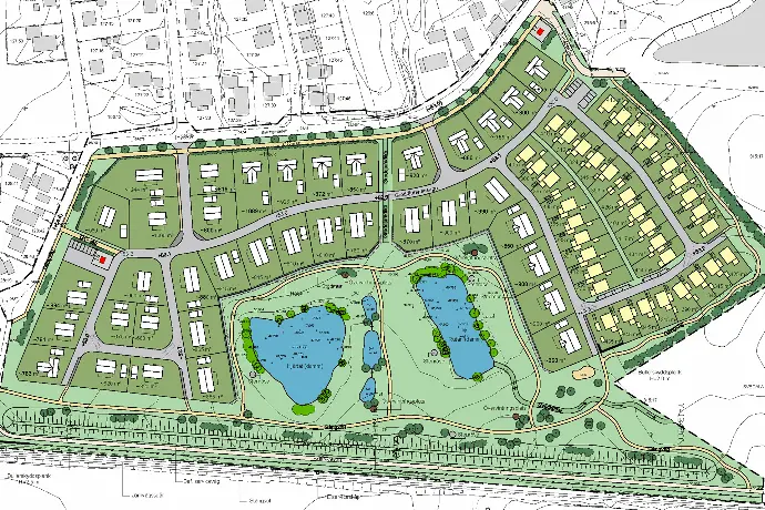
Nygårds dammar
The preliminary design includes roads, properties, and a retaining wall. The project features 77 new wooden villas and houses, surrounded by green spaces for gatherings, walking, play, and recreation. A noise barrier and safety fence are planned along the southern railway for safety. This development combines rural living with proximity to urban amenities.
Municipality: Svedala kommun, Sweden 
Google maps
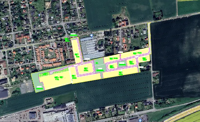
Hammar 8:12
Detailed design of the entire residential area, including streets, intersections, pedestrian and cycle paths, as well as park areas for recreation and stormwater management. Quantities.
Municipality: Kristianstad kommun, Sweden
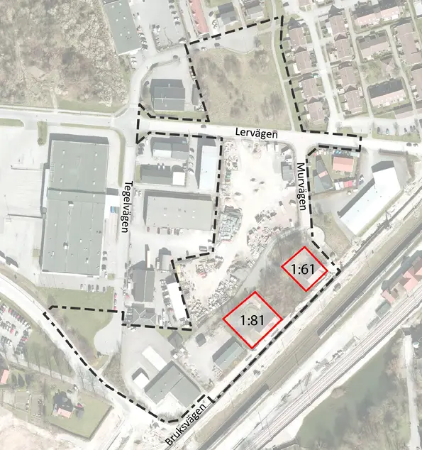
Lervägen
Preliminary design of an area of approximately 3.3 ha, reconstruction of roads, new connections to existing road infrastructure, design of three park areas, two of which should enable stormwater retention.
Municipality: Burlövs kommun, Sweden 